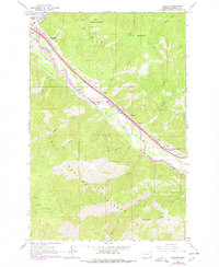
1965 Map of Bonner
USGS Topo · Published 1978About this map
Industrial rail corridors and the convergence of the Blackfoot R and Clark Fork define this mid-century view of Missoula County. The settlements of Bonner, Piltzville, and Turah follow the narrow valley floors, hemmed in by the rising slopes of the Lolo National Forest. This era shows two major competing rail lines, the Burlington Northern and the Chicago Milwaukee St Paul and Pacific, running parallel through the canyon toward McQuarrie Spur. The landscape is etched with the drainage patterns of Crystal Creek and Allen Creek, while the presence of numerous Gravel Pits along the riverbanks points to the area's active construction and infrastructure development during the 1960s and 1970s. Higher elevations like Bonner Mountain and Moccasin Ridge remain largely untamed forest land, contrasting with the busy transportation artery below.
Find a feature on this map
32 named features on this map. Tap any name to fly to it.
Don’t see what you’re looking for? This feature index may not catch every label — zoom into the map to look around manually.
Map Details
Editions of this 1965 Bonner Map
2 editions found
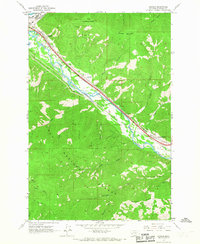
Other maps of this area

1903 · Bonner
USGS Topo · 1:125,000

1947 · Butte
USGS Topo · 1:250,000

1958 · Butte
USGS Topo · 1:250,000

1959 · Cleveland Mountain
USGS Topo · 1:62,500

1959 · Ravenna
USGS Topo · 1:62,500

1960 · Butte
USGS Topo · 1:250,000

1962 · Butte
USGS Topo · 1:250,000
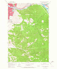
1964 · Southeast Missoula
USGS Topo · 1:24,000

1964 · Northeast Missoula
USGS Topo · 1:24,000
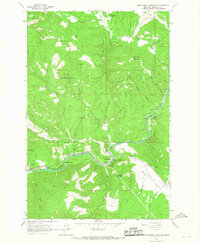
1965 · Sunflower Mountain
USGS Topo · 1:24,000