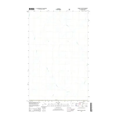
2014 Map of Bonnet Top OE N
USGS Topo · Published 2014About this map
The Yahk River meanders across this northern landscape just above the international border, defining the drainage patterns of the area C region in East Kootenay. The terrain is structured by the confluence of mountain waters, notably where Gilnockie Cr and Boyd Cr feed into the larger river system. This 2014 survey captures a wilderness area defined by its hydrology rather than human settlement, illustrating the natural state of the British Columbia backcountry. The map provides a precise record of the river's path and its tributaries as they flowed shortly after the turn of the twenty-first century, offering a clear view of the undeveloped topography near the Canada-United States boundary.
Find a feature on this map
4 named features on this map. Tap any name to fly to it.
Don’t see what you’re looking for? This feature index may not catch every label — zoom into the map to look around manually.
Map Details
Editions of this 2014 Bonnet Top OE N Map
This is the sole edition of this map. No revisions or reprints were ever made.
Other maps of this area

1957 · Kalispell
USGS Topo · 1:250,000

1960 · Kalispell
USGS Topo · 1:250,000

1961 · Kalispell
USGS Topo · 1:250,000

1963 · Garver Mountain
USGS Topo · 1:24,000

1963 · Bonnet Top
USGS Topo · 1:24,000

1963 · Mount Henry
USGS Topo · 1:24,000

1979 · Yaak River
USGS Topo · 1:100,000
1997 · Mount Henry
USGS Topo · 1:24,000
1997 · Bonnet Top
USGS Topo · 1:24,000
1997 · Garver Mountain
USGS Topo · 1:24,000