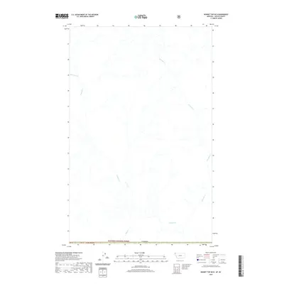
2020 Map of Bonnet Top OE N
USGS Topo · Published 2020About this map
The Yahk River winds through this sparsely settled border region, where the northernmost reaches of the Kootenai National Forest meet the international boundary with Canada. This map documents a landscape defined by its hydrology, featuring the winding courses of Gilnockie Cr, Sprucetree Cr, and Boyd Cr. The absence of named settlements or major roads emphasizes the wilderness character of this area in the 21st century. Surveyed for the National Geospatial Program, the map includes legal land divisions such as t37n r32w and specific parcel markers like PB 38 and PB 39, providing essential data for land management and environmental study along the remote Montana-British Columbia line.
Find a feature on this map
9 named features on this map. Tap any name to fly to it.
Don’t see what you’re looking for? This feature index may not catch every label — zoom into the map to look around manually.
Map Details
Editions of this 2020 Bonnet Top OE N Map
This is the sole edition of this map. No revisions or reprints were ever made.
Other maps of this area

1957 · Kalispell
USGS Topo · 1:250,000

1960 · Kalispell
USGS Topo · 1:250,000

1961 · Kalispell
USGS Topo · 1:250,000

1963 · Garver Mountain
USGS Topo · 1:24,000

1963 · Bonnet Top
USGS Topo · 1:24,000

1963 · Mount Henry
USGS Topo · 1:24,000

1979 · Yaak River
USGS Topo · 1:100,000
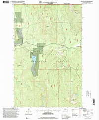
1997 · Mount Henry
USGS Topo · 1:24,000
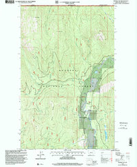
1997 · Bonnet Top
USGS Topo · 1:24,000
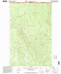
1997 · Garver Mountain
USGS Topo · 1:24,000