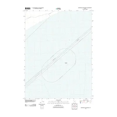
2011 Map of Bonneville Racetrack
USGS Topo · Published 2011About this map
Bonneville Salt Flats dominate this landscape, providing a specialized environment for high-speed automotive testing and racing. This 2011 survey illustrates the precise layouts of the various courses established on the crust of the ancient lakebed. The infrastructure for speed is clearly delineated, including the large loop of the Bonneville Racetrack and the long, straight corridors of the International Racetrack and Bonneville Speedway. In the northern section of the quadrangle, the Silver Island Rd provides the primary access route across the flats toward the nearby mountains. The map also identifies the specific Hot Rod Track, highlighting the enduring cultural and technical significance of this area to the world of motorsports.
Find a feature on this map
6 named features on this map. Tap any name to fly to it.
Don’t see what you’re looking for? This feature index may not catch every label — zoom into the map to look around manually.
Map Details
Editions of this 2011 Bonneville Racetrack Map
This is the sole edition of this map. No revisions or reprints were ever made.
Other maps of this area

1953 · Tooele
USGS Topo · 1:250,000

1955 · Tooele
USGS Topo · 1:250,000

1971 · Silver Island Pass
USGS Topo · 1:24,000

1971 · Graham Peak
USGS Topo · 1:24,000

1971 · Tetzlaff Peak
USGS Topo · 1:24,000

1971 · Bonneville Racetrack
USGS Topo · 1:24,000

1973 · Arinosa
USGS Topo · 1:24,000

1973 · Floating Island SW
USGS Topo · 1:24,000
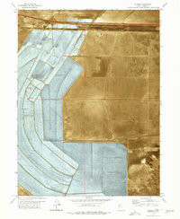
1973 · Silsbee
USGS Topo · 1:24,000
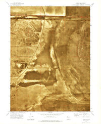
1973 · Salduro
USGS Topo · 1:24,000