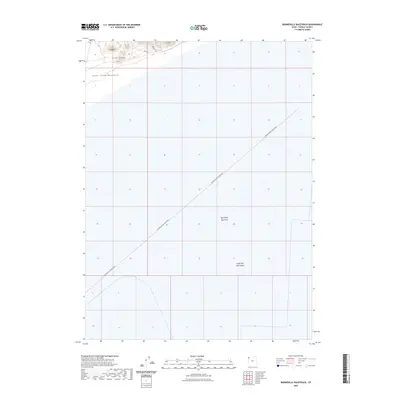
2023 Map of Bonneville Racetrack
USGS Topo · Published 2023About this map
The International Racetrack cuts a stark, diagonal line across the floor of the Bonneville Salt Flats, marking one of the most unique automotive landmarks in the American West. This modern survey illustrates the expansive reach of the Great Salt Lake Desert as it meets the rising elevations of the Silver Island Mountains in the northwest corner. The transition from the perfectly level salt crust to the jagged terrain of Silver Island is immediate, defined by small access routes like Mine Rd and Prospect Rd. These labels hint at the mineral extraction and exploration history that shares this landscape with high-speed testing. The map provides a precise look at the geometry of the racing surface in relation to the surrounding geological formations.
Find a feature on this map
7 named features on this map. Tap any name to fly to it.
Don’t see what you’re looking for? This feature index may not catch every label — zoom into the map to look around manually.
Map Details
Editions of this 2023 Bonneville Racetrack Map
This is the sole edition of this map. No revisions or reprints were ever made.
Other maps of this area

1953 · Tooele
USGS Topo · 1:250,000

1955 · Tooele
USGS Topo · 1:250,000

1971 · Silver Island Pass
USGS Topo · 1:24,000

1971 · Graham Peak
USGS Topo · 1:24,000

1971 · Tetzlaff Peak
USGS Topo · 1:24,000

1971 · Bonneville Racetrack
USGS Topo · 1:24,000

1973 · Arinosa
USGS Topo · 1:24,000

1973 · Floating Island SW
USGS Topo · 1:24,000
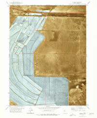
1973 · Silsbee
USGS Topo · 1:24,000
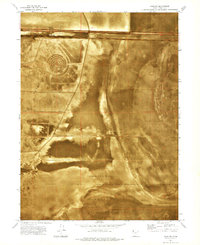
1973 · Salduro
USGS Topo · 1:24,000