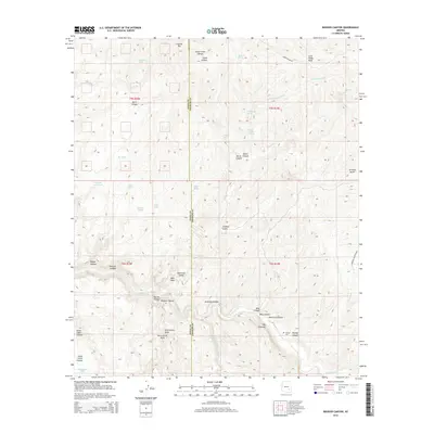
2014 Map of Booger Canyon
USGS Topo · Published 2014About this map
Aravaipa Canyon and the winding course of Aravaipa Cr dominate this corner of the Arizona high desert, where the border between Pinal Co and Graham Co cuts through a landscape of deep drainages and isolated springs. The presence of the Salazar Cem and several livestock water features like Big Tank and Cement Dam Tank suggest a long history of ranching and remote settlement despite the difficult terrain. Notable landmarks such as Lookout Mtn, Lone Cedar Mesa, and the vertical spire of The Chimney provide clear orientation for navigators. The quadrangle traces the intricate network of canyons, including the evocative Booger Canyon, Hell Hole Valley, and Bear Canyon, illustrating the erosive power of water in this arid environment.
Find a feature on this map
46 named features on this map. Tap any name to fly to it.
Don’t see what you’re looking for? This feature index may not catch every label — zoom into the map to look around manually.
Map Details
Editions of this 2014 Booger Canyon Map
This is the sole edition of this map. No revisions or reprints were ever made.
Other maps of this area

1911 · Winkelman
USGS Topo · 1:125,000

1913 · Winkelman
USGS Topo · 1:125,000

1915 · Christmas
USGS Topo · 1:62,500

1917 · Christmas
USGS Topo · 1:62,500

1938 · Klondyke
USGS Topo · 1:48,000

1943 · Klondyke
USGS Topo · 1:62,500

1949 · Holy Joe Peak
USGS Topo · 1:62,500

1949 · Brandenburg Mtn
USGS Topo · 1:24,000
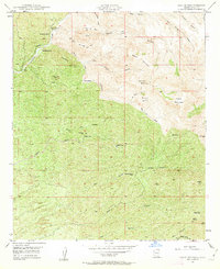
1949 · Holy Joe Peak
USGS Topo · 1:24,000
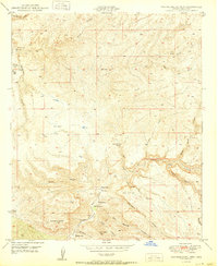
1950 · Brandenburg Mtn
USGS Topo · 1:24,000