
1949 Map of Brandenburg Mtn
USGS Topo · Published 1962About this map
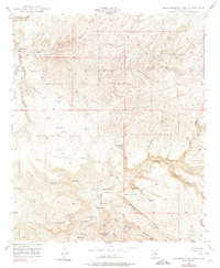
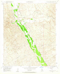
Aravaipa Canyon cuts a deep path through this Pinal County landscape, serving as the primary geological artery for a network of drainages including Virgus Canyon and Ash Creek. The 1949 field survey documents a series of established ranching outposts and family sites along the watercourses, such as Wagner Ranch, Woods Ranch, and the specifically noted Hortons Place. The presence of Painted Cave Ranch near the center of the sheet suggests a long-standing human connection to the area's sheltered alcoves.
Find a feature on this map
37 named features on this map. Tap any name to fly to it.
Don’t see what you’re looking for? This feature index may not catch every label — zoom into the map to look around manually.
Map Details
Editions of this 1949 Brandenburg Mtn Map
4 editions found
Other maps of this area

1911 · Winkelman
USGS Topo · 1:125,000

1913 · Winkelman
USGS Topo · 1:125,000

1915 · Christmas
USGS Topo · 1:62,500

1917 · Christmas
USGS Topo · 1:62,500

1938 · Klondyke
USGS Topo · 1:48,000

1943 · Klondyke
USGS Topo · 1:62,500

1949 · Holy Joe Peak
USGS Topo · 1:62,500

1949 · Saddle Mtn.
USGS Topo · 1:24,000
1949 · Holy Joe Peak
USGS Topo · 1:24,000
1949 · Lookout Mtn
USGS Topo · 1:24,000