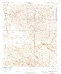
1949 Map of Brandenburg Mtn
USGS Topo · Published 1975About this map
Aravaipa Canyon cuts a deep path through this corner of Pinal County, anchoring a landscape defined by sharp elevation changes and seasonal drainages. Established ranching outposts like Wagner Ranch, Woods Ranch, and La Jolla Ranch follow the life-giving corridor of Aravaipa Creek, illustrating the importance of water access in this arid environment. The map shows a transition from the lower valley floors to prominent high points such as Brandenburg Mtn and Periz Peak.
Find a feature on this map
32 named features on this map. Tap any name to fly to it.
Don’t see what you’re looking for? This feature index may not catch every label — zoom into the map to look around manually.
Map Details
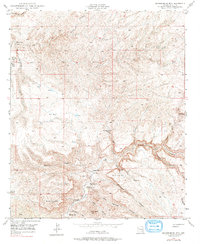
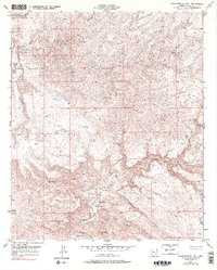
Editions of this 1949 Brandenburg Mtn Map
4 editions found
Other maps of this area

1911 · Winkelman
USGS Topo · 1:125,000

1913 · Winkelman
USGS Topo · 1:125,000

1915 · Christmas
USGS Topo · 1:62,500

1917 · Christmas
USGS Topo · 1:62,500

1938 · Klondyke
USGS Topo · 1:48,000

1943 · Klondyke
USGS Topo · 1:62,500

1949 · Holy Joe Peak
USGS Topo · 1:62,500

1949 · Saddle Mtn.
USGS Topo · 1:24,000

1949 · Brandenburg Mtn
USGS Topo · 1:24,000
1949 · Holy Joe Peak
USGS Topo · 1:24,000