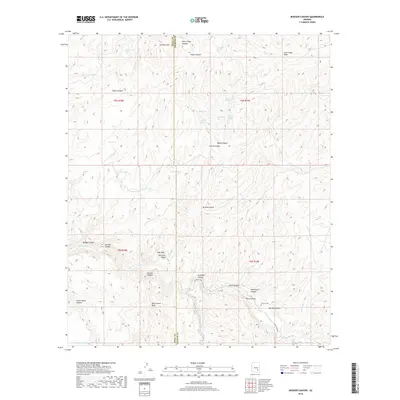
2018 Map of Booger Canyon
USGS Topo · Published 2018About this map
Aravaipa Canyon serves as the dominant landscape feature of this terrain, cutting through the high country along the border of Pinal and Graham counties. The canyon floor supports the Aravaipa Cr and the historic Aravaipa Canal, representing a critical water source in an otherwise arid environment defined by Lone Cedar Mesa and Lookout Mtn. This area is characterized by a dense network of drainage systems and deep incisions like Bear Canyon and Martinez Canyon. For those researching local burial sites or land use, the Salazar Cem is located in the southeastern quadrant near the mouth of Maroga Canyon. The map reveals the reliance on isolated water points for livestock or travelers, evidenced by numerous tanks such as Big Tank, Dirt Tank, and Woodrows Tank scattered across the township and range grids.
Find a feature on this map
45 named features on this map. Tap any name to fly to it.
Don’t see what you’re looking for? This feature index may not catch every label — zoom into the map to look around manually.
Map Details
Editions of this 2018 Booger Canyon Map
This is the sole edition of this map. No revisions or reprints were ever made.
Other maps of this area

1911 · Winkelman
USGS Topo · 1:125,000

1913 · Winkelman
USGS Topo · 1:125,000

1915 · Christmas
USGS Topo · 1:62,500

1917 · Christmas
USGS Topo · 1:62,500

1938 · Klondyke
USGS Topo · 1:48,000

1943 · Klondyke
USGS Topo · 1:62,500

1949 · Holy Joe Peak
USGS Topo · 1:62,500

1949 · Brandenburg Mtn
USGS Topo · 1:24,000
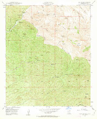
1949 · Holy Joe Peak
USGS Topo · 1:24,000
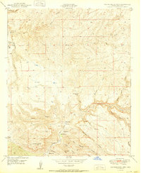
1950 · Brandenburg Mtn
USGS Topo · 1:24,000