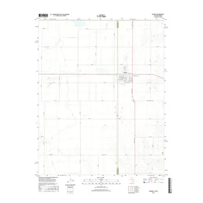
2016 Map of Booker
USGS Topo · Published 2016About this map
Booker sits at the intersection of local commerce and agriculture, straddling the county line between Ochiltree Co and Lipscomb Co in the Texas Panhandle. The town's grid is defined by a series of residential streets including S Dahlia St, S Canna St, and S Azalea St, reflecting a planned community layout that serves the surrounding ranching and farming lands. The transportation network is a dominant feature, with routes like Ranch Rd 1265 and the Old Darrouzett Hwy facilitating movement across the flat plains.
Find a feature on this map
40 named features on this map. Tap any name to fly to it.
Don’t see what you’re looking for? This feature index may not catch every label — zoom into the map to look around manually.
Map Details
Editions of this 2016 Booker Map
This is the sole edition of this map. No revisions or reprints were ever made.
Other maps of this area

1954 · Perryton
USGS Topo · 1:250,000

1958 · Perryton
USGS Topo · 1:250,000

1971 · Clear Lake SW
USGS Topo · 1:24,000

1972 · Gaylord
USGS Topo · 1:24,000

1972 · Twin Grove
USGS Topo · 1:24,000

1972 · Booker SE
USGS Topo · 1:24,000

1973 · Booker
USGS Topo · 1:24,000

1973 · Booker SW
USGS Topo · 1:24,000

1973 · Elmwood
USGS Topo · 1:24,000

1973 · Balko SW
USGS Topo · 1:24,000