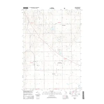
2014 Map of Boon
USGS Topo · Published 2014About this map
The crossroads of Boon and the northern settlement of Meauwataka anchor this portion of Wexford County, revealing a landscape defined by small glacial lakes and managed timberlands. Much of the southern and eastern territory is occupied by the Manistee National Forest, where a grid of secondary roads like W 32 Rd and S 25 Rd provides access to the interior. This survey captures the rural layout of the area in the early 21st century, showing the proximity of several community burial grounds including West Cem, East Cem, and Selma Cem.
Find a feature on this map
51 named features on this map. Tap any name to fly to it.
Don’t see what you’re looking for? This feature index may not catch every label — zoom into the map to look around manually.
Map Details
Editions of this 2014 Boon Map
This is the sole edition of this map. No revisions or reprints were ever made.
Other maps of this area

1933 · Luther NW
USGS Topo · 1:31,680

1954 · Traverse City
USGS Topo · 1:250,000

1956 · Mesick
USGS Topo · 1:62,500

1956 · Cadillac North
USGS Topo · 1:62,500

1957 · Cadillac South
USGS Topo · 1:62,500

1957 · Luther
USGS Topo · 1:62,500

1958 · Traverse City
USGS Topo · 1:250,000

1983 · Cadillac
USGS Topo · 1:100,000

1983 · Manton
USGS Topo · 1:25,000

1983 · Cadillac North
USGS Topo · 1:24,000