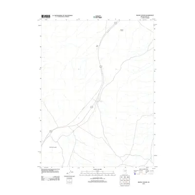
2012 Map of Boone Canyon
USGS Topo · Published 2012About this map
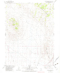
Boone Spring serves as a vital water point in this arid stretch of Elko County, situated between the Boone Spring Hills and the southern reach of Boone Canyon. The landscape is dominated by north-south topographical corridors, notably marked by the prominent elevation of Red Knoll. Modern transit and historical paths intersect here, with the alignment of Alt 93 frequently diverging from or paralleling the trace of Old Hwy 93. This corridor through the Great Basin reveals the essential relationship between early automotive routes and the scarce water sources that dictated travel patterns across the high desert.
Find a feature on this map
6 named features on this map. Tap any name to fly to it.
Don’t see what you’re looking for? This feature index may not catch every label — zoom into the map to look around manually.
Map Details
Editions of this 2012 Boone Canyon Map
This is the sole edition of this map. No revisions or reprints were ever made.
Other maps of this area

1955 · Elko
USGS Topo · 1:250,000

1958 · Elko
USGS Topo · 1:250,000

1962 · Elko
USGS Topo · 1:250,000

1965 · Elko
USGS Topo · 1:250,000

1982 · Chin Creek Spring
USGS Topo · 1:24,000
1982 · Kinsley Mountains
USGS Topo · 1:24,000
1982 · Boone Canyon
USGS Topo · 1:24,000

1982 · Sharp Peak
USGS Topo · 1:24,000
1982 · Dolly Varden Spring
USGS Topo · 1:24,000
1982 · Goshute Lake NE
USGS Topo · 1:24,000