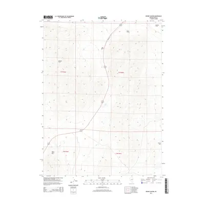
2014 Map of Boone Canyon
USGS Topo · Published 2014About this map
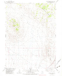
Boone Canyon and the Antelope Range define the high-desert topography of this northeastern Nevada corridor. This 2014 survey captures a landscape structured by the north-south passage of Old Hwy 93, which threads between the eastern flank of the Antelope Range and the Boone Spring Hills. The area is characterized by significant elevation changes, from the broad expanse of Antelope Valley in the northeast to the intricate drainages like Kinsley Draw in the southeast. Historical water access in this arid environment is marked by Boone Spring, a vital landmark situated near the center of the quadrangle. The map clearly delineates the Public Land Survey System grid, including t27n r66e, providing a precise reference for land ownership and historical grazing or mining claims in this part of Elko County.
Find a feature on this map
12 named features on this map. Tap any name to fly to it.
Don’t see what you’re looking for? This feature index may not catch every label — zoom into the map to look around manually.
Map Details
Editions of this 2014 Boone Canyon Map
This is the sole edition of this map. No revisions or reprints were ever made.
Other maps of this area

1955 · Elko
USGS Topo · 1:250,000

1958 · Elko
USGS Topo · 1:250,000

1962 · Elko
USGS Topo · 1:250,000

1965 · Elko
USGS Topo · 1:250,000

1982 · Chin Creek Spring
USGS Topo · 1:24,000
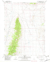
1982 · Kinsley Mountains
USGS Topo · 1:24,000
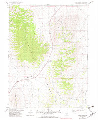
1982 · Boone Canyon
USGS Topo · 1:24,000

1982 · Sharp Peak
USGS Topo · 1:24,000
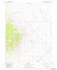
1982 · Dolly Varden Spring
USGS Topo · 1:24,000
1982 · Goshute Lake NE
USGS Topo · 1:24,000