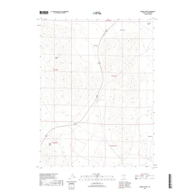
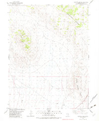
2018 Map of Boone Canyon
USGS Topo · Published 2018About this map
Boone Spring serves as a vital water source in this high-desert corridor of Elko County, situated between the Antelope Range and the Boone Spring Hills. The landscape is defined by the sharp transition from the elevated peaks of the range down through Boone Canyon and into the broad expanse of Antelope Valley. Transportation history is etched into the terrain via the route of Old Hwy 93, which parallels the modern Alt 93 through the center of the quadrangle. Significant topographical markers like Red Knoll and the drainage of Kinsley Draw help delineate the arid basin-and-range geography. This 2018 survey provides an exact record of public land survey boundaries and sections, including T27N R67E and T26N R66E, reflecting the modern administrative grid of this remote Nevada interior.
Find a feature on this map
14 named features on this map. Tap any name to fly to it.
Don’t see what you’re looking for? This feature index may not catch every label — zoom into the map to look around manually.
Map Details
Editions of this 2018 Boone Canyon Map
This is the sole edition of this map. No revisions or reprints were ever made.
Other maps of this area

1955 · Elko
USGS Topo · 1:250,000

1958 · Elko
USGS Topo · 1:250,000

1962 · Elko
USGS Topo · 1:250,000

1965 · Elko
USGS Topo · 1:250,000

1982 · Chin Creek Spring
USGS Topo · 1:24,000
1982 · Kinsley Mountains
USGS Topo · 1:24,000
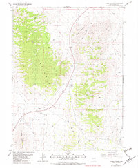
1982 · Boone Canyon
USGS Topo · 1:24,000

1982 · Sharp Peak
USGS Topo · 1:24,000
1982 · Dolly Varden Spring
USGS Topo · 1:24,000
1982 · Goshute Lake NE
USGS Topo · 1:24,000