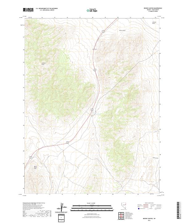
2021 Map of Boone Canyon
USGS Topo · Published 2021About this map
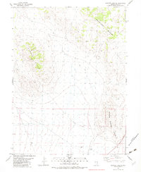
Antelope Valley dominates the eastern margins of this high-desert landscape in Elko County, where the terrain transitions into the steep slopes of the Antelope Range. The map documents a rugged interior network of topographical features, including the central Red Knoll and the sweeping descent of Boone Canyon. Human presence is marked by the path of Old Hwy 93, which cuts through the valley and passes near the reliable water source at Boone Spring. In the southwestern corner, the Boone Spring Hills rise above the surrounding flats, while Kinsley Draw provides a natural drainage route to the southeast. The survey highlights the characteristic Great Basin landscape of north-south mountain ranges separated by expansive alluvial valleys, capturing the corridor's navigation and water points before more modern developments altered the local infrastructure.
Find a feature on this map
13 named features on this map. Tap any name to fly to it.
Don’t see what you’re looking for? This feature index may not catch every label — zoom into the map to look around manually.
Map Details
Editions of this 2021 Boone Canyon Map
This is the sole edition of this map. No revisions or reprints were ever made.
Other maps of this area

1955 · Elko
USGS Topo · 1:250,000

1958 · Elko
USGS Topo · 1:250,000

1962 · Elko
USGS Topo · 1:250,000

1965 · Elko
USGS Topo · 1:250,000

1982 · Chin Creek Spring
USGS Topo · 1:24,000
1982 · Kinsley Mountains
USGS Topo · 1:24,000
1982 · Boone Canyon
USGS Topo · 1:24,000

1982 · Sharp Peak
USGS Topo · 1:24,000
1982 · Dolly Varden Spring
USGS Topo · 1:24,000
1982 · Goshute Lake NE
USGS Topo · 1:24,000