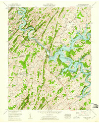
1959 Map of Boone Dam
USGS Topo · Published 1960About this map
The South Fork Holston River defines this landscape in the late 1950s, dramatically transformed by the infrastructure of the Tennessee Valley Authority. The map centers on the massive Boone Dam, which impounds the waters of Boone Lake and Watauga Lake at the confluence of the Watauga River. This engineered environment sits alongside established communities like Gray and Colonial Heights, while newer residential footprints such as the Baker Bluff Subdivision and Smith Shoals Subdivision suggest post-war suburban growth.
Find a feature on this map
105 named features on this map. Tap any name to fly to it.
Don’t see what you’re looking for? This feature index may not catch every label — zoom into the map to look around manually.
Map Details
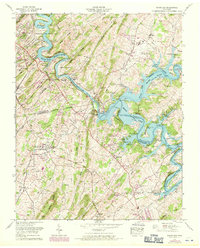
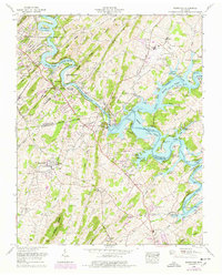
Editions of this 1959 Boone Dam Map
3 editions found
Other maps of this area

1891 · Roan Mountain
USGS Topo · 1:125,000

1892 · Greeneville
USGS Topo · 1:125,000

1894 · Roan Mountain
USGS Topo · 1:125,000

1894 · Estillville
USGS Topo · 1:125,000

1896 · Greeneville
USGS Topo · 1:125,000

1897 · Bristol
USGS Topo · 1:125,000

1902 · Bristol
USGS Topo · 1:125,000

1904 · Roan Mountain
USGS Topo · 1:125,000

1904 · Greeneville
USGS Topo · 1:125,000

1935 · Sullivan Gardens
USGS Topo · 1:24,000