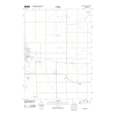
2010 Map of Boone East
USGS Topo · Published 2010About this map
Boone serves as the primary urban center for this central Iowa landscape, where the town's grid meets the expansive agricultural reaches of eastern Boone County. The map captures the transition from the concentrated streets and the Boone County Fairgrounds to the rural sections divided by a network of numbered and lettered roads like 210th St and R Ave. Family and local history is anchored in the landscape through the presence of several burial grounds, including the Mitchell Cemetery to the northeast and the Squire Boone Cemetery at the southern edge.
Find a feature on this map
42 named features on this map. Tap any name to fly to it.
Don’t see what you’re looking for? This feature index may not catch every label — zoom into the map to look around manually.
Map Details
Editions of this 2010 Boone East Map
This is the sole edition of this map. No revisions or reprints were ever made.
Other maps of this area

1911 · Madrid
USGS Topo · 1:62,500

1911 · Slater
USGS Topo · 1:62,500

1912 · Ames
USGS Topo · 1:62,500

1913 · Slater
USGS Topo · 1:62,500

1914 · Madrid
USGS Topo · 1:62,500

1914 · Ames
USGS Topo · 1:62,500

1916 · Boone
USGS Topo · 1:62,500

1954 · Waterloo
USGS Topo · 1:250,000

1954 · Des Moines
USGS Topo · 1:250,000

1955 · Waterloo
USGS Topo · 1:250,000