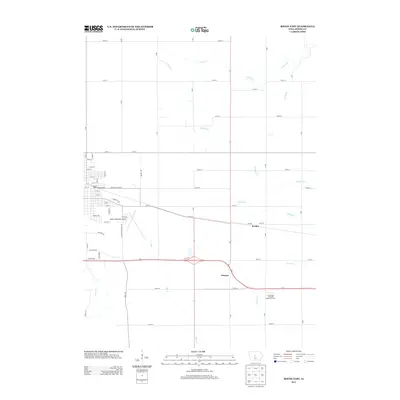
2013 Map of Boone East
USGS Topo · Published 2013About this map
The agricultural landscape east of the county seat is defined by a grid of rural section roads and the meandering paths of Big Cr and its tributaries. In this 2013 survey, the small community of Jordan serves as a local landmark along the path of 210th St, while the settlement of Ericson is situated to the south near the intersection of Highway 30 and 230th St. This area reflects the integration of academic research and aviation with the presence of the Iowa State University Agronomy Farm and the Boone Municipal Airport.
Find a feature on this map
60 named features on this map. Tap any name to fly to it.
Don’t see what you’re looking for? This feature index may not catch every label — zoom into the map to look around manually.
Map Details
Editions of this 2013 Boone East Map
This is the sole edition of this map. No revisions or reprints were ever made.
Other maps of this area

1911 · Madrid
USGS Topo · 1:62,500

1911 · Slater
USGS Topo · 1:62,500

1912 · Ames
USGS Topo · 1:62,500

1913 · Slater
USGS Topo · 1:62,500

1914 · Madrid
USGS Topo · 1:62,500

1914 · Ames
USGS Topo · 1:62,500

1916 · Boone
USGS Topo · 1:62,500

1954 · Waterloo
USGS Topo · 1:250,000

1954 · Des Moines
USGS Topo · 1:250,000

1955 · Waterloo
USGS Topo · 1:250,000