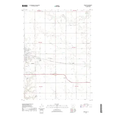
2018 Map of Boone East
USGS Topo · Published 2018About this map
The city of Boone serves as the focal point of this east-central Iowa survey, revealing a landscape where the grid of city streets meets the sprawling agricultural sections of Boone County. The eastern reach of the city is anchored by the Boone Municipal Airport and thoroughfares like Mamie Eisenhower Av. Outside the city limits, the terrain is defined by a dense network of watercourses including Prairie Creek, Big Creek, and the dual branches of North Onion Creek and South Onion Creek, which carve winding paths through the surrounding farmland.
Find a feature on this map
62 named features on this map. Tap any name to fly to it.
Don’t see what you’re looking for? This feature index may not catch every label — zoom into the map to look around manually.
Map Details
Editions of this 2018 Boone East Map
This is the sole edition of this map. No revisions or reprints were ever made.
Other maps of this area

1911 · Madrid
USGS Topo · 1:62,500

1911 · Slater
USGS Topo · 1:62,500

1912 · Ames
USGS Topo · 1:62,500

1913 · Slater
USGS Topo · 1:62,500

1914 · Madrid
USGS Topo · 1:62,500

1914 · Ames
USGS Topo · 1:62,500

1916 · Boone
USGS Topo · 1:62,500

1954 · Waterloo
USGS Topo · 1:250,000

1954 · Des Moines
USGS Topo · 1:250,000

1955 · Waterloo
USGS Topo · 1:250,000