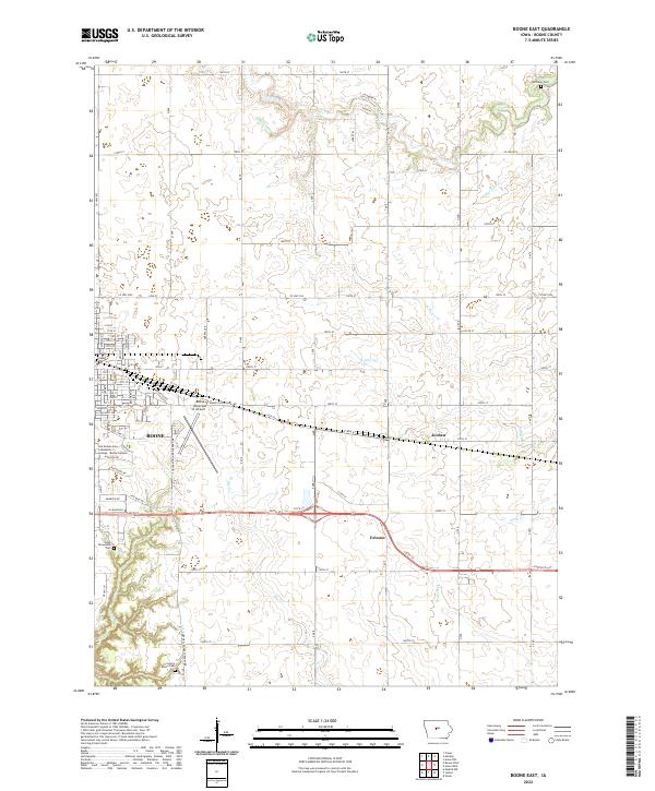
2022 Map of Boone East
USGS Topo · Published 2022About this map
Boone and its surrounding central Iowa townships are depicted in high detail on this contemporary survey, illustrating the modern footprint of a community rooted in rail and agriculture. The landscape is defined by the headwaters and tributaries of Prairie Cr, Big Cr, and Lundys Cr, which weave through the grid of county roads and section lines. Notable local-history markers include several family and community burial sites such as the Mitchell Cem, Sarah Dinwoodie Cem, and the Squire Boone Cem located near the southern boundary. To the east of the main city center, the small settlements of Jordan and Ericson sit along the primary road and rail corridors. Educational and transportation infrastructure is prominent, featuring the Des Moines Area Community College - Boone Campus and the Boone Municipal Airport, which is accessed via Mamie Eisenhower Ave.
Find a feature on this map
82 named features on this map. Tap any name to fly to it.
Don’t see what you’re looking for? This feature index may not catch every label — zoom into the map to look around manually.
Map Details
Editions of this 2022 Boone East Map
This is the sole edition of this map. No revisions or reprints were ever made.
Other maps of this area

1911 · Madrid
USGS Topo · 1:62,500

1911 · Slater
USGS Topo · 1:62,500

1912 · Ames
USGS Topo · 1:62,500

1913 · Slater
USGS Topo · 1:62,500

1914 · Madrid
USGS Topo · 1:62,500

1914 · Ames
USGS Topo · 1:62,500

1916 · Boone
USGS Topo · 1:62,500

1954 · Waterloo
USGS Topo · 1:250,000

1954 · Des Moines
USGS Topo · 1:250,000

1955 · Waterloo
USGS Topo · 1:250,000