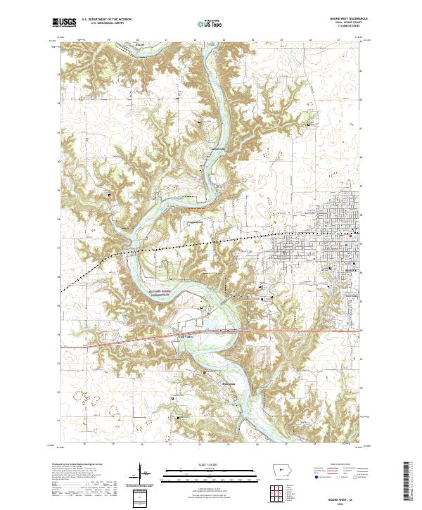
2022 Map of Boone West
USGS Topo · Published 2022About this map
The Des Moines River carves a deep, winding valley through central Iowa, anchoring the settlements and infrastructure of this territory. This area is characterized by its numerous historic cemeteries, including the Milton Lott Grave and the Hickory Grove Cem, which serve as vital markers of early pioneer history. In the southern portion of the sheet, the village of Moingona sits near the riverbanks, while the western edge of Boone hosts the Boone County Courthouse and the Des Moines Area Community College Boone Campus. The landscape is a network of ridges and ravines, where smaller waterways like Honey Cr and Bluff Cr feed into the primary river system. Historical transport routes are represented by the Kate Shelley Trl, named for the local folk heroine, tracing the rugged topography between Logansport and the river valley.
Find a feature on this map
156 named features on this map. Tap any name to fly to it.
Don’t see what you’re looking for? This feature index may not catch every label — zoom into the map to look around manually.
Map Details
Editions of this 2022 Boone West Map
This is the sole edition of this map. No revisions or reprints were ever made.
Other maps of this area

1911 · Madrid
USGS Topo · 1:62,500

1914 · Madrid
USGS Topo · 1:62,500

1916 · Boone
USGS Topo · 1:62,500

1950 · Perry
USGS Topo · 1:62,500

1951 · Perry
USGS Topo · 1:62,500

1951 · Ogden
USGS Topo · 1:62,500

1954 · Omaha
USGS Topo · 1:250,000

1954 · Waterloo
USGS Topo · 1:250,000

1954 · Fort Dodge
USGS Topo · 1:250,000

1954 · Des Moines
USGS Topo · 1:250,000