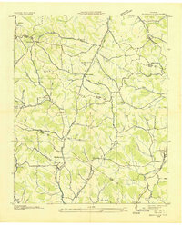
1936 Map of Booneville
USGS Topo · Published 1936About this map
The Tennessee Valley Authority and U.S. Geological Survey captured this mid-1930s landscape of southern Middle Tennessee, where the boundaries of Bedford, Moore, and Lincoln counties converge. The drainage system is dominated by the West Fork Mulberry Creek and its many tributaries like Possumtrot Branch and Polecat Creek. These waterways dictated the settlement patterns of rural communities such as New Herman, Screamersville, and Booneville.
Find a feature on this map
67 named features on this map. Tap any name to fly to it.
Don’t see what you’re looking for? This feature index may not catch every label — zoom into the map to look around manually.
Map Details
Editions of this 1936 Booneville Map
This is the sole edition of this map. No revisions or reprints were ever made.
Other maps of this area
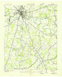
1936 · Shelbyville
USGS Topo · 1:24,000
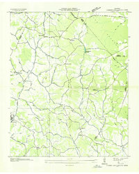
1936 · Cumberland Springs
USGS Topo · 1:24,000
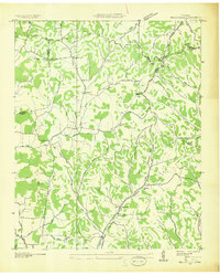
1936 · Belleville
USGS Topo · 1:24,000
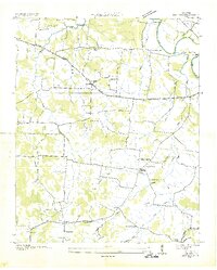
1936 · Bedford
USGS Topo · 1:24,000
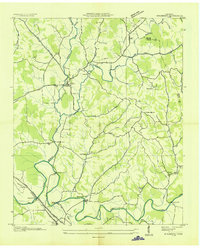
1936 · Mulberry
USGS Topo · 1:24,000
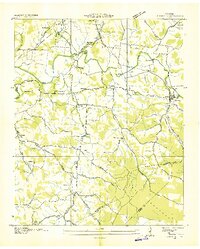
1936 · Normandy
USGS Topo · 1:24,000
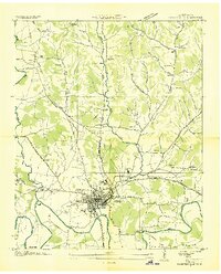
1936 · Fayetteville
USGS Topo · 1:24,000
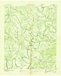
1936 · Lois
USGS Topo · 1:24,000
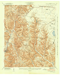
1941 · Cumberland Springs
USGS Topo · 1:24,000
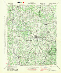
1944 · Shelbyville
USGS Topo · 1:100,000