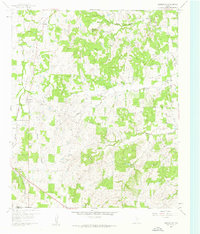
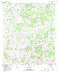
1960 Map of Boonsville
USGS Topo · Published 1961This historical map portrays the area of Boonsville in 1960, primarily covering Wise County as well as portions of Parker County. Featuring a scale of 1:24000, this map provides a highly detailed snapshot of the terrain, roads, buildings, counties, and historical landmarks in the Boonsville region at the time. Published in 1961, it is one of 3 known editions of this map due to revisions or reprints.
Find a feature on this map
20 named features on this map. Tap any name to fly to it.
Don’t see what you’re looking for? This feature index may not catch every label — zoom into the map to look around manually.
Map Details
Editions of this 1960 Boonsville Map
Historical Maps of Boonsville Through Time
17 maps found
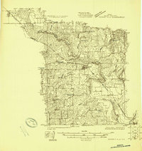
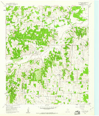
1924 Sunset 4-d
Wise County, TX
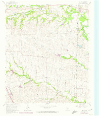
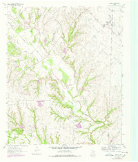
1960 Bluett
Wise County, TX
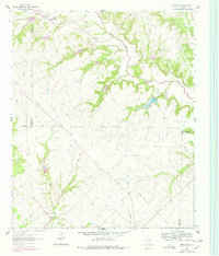
1960 Boonsville
Wise County, TX
1960 Bridgeport East
Wise County, TX
1960 Bridgeport West
Wise County, TX
1960 Cottondale
Wise County, TX
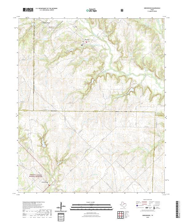
1961 Greenwood
Wise County, TX
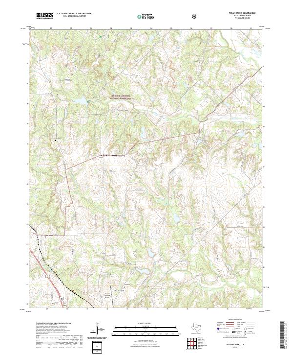
1961 Pecan Creek
Wise County, TX
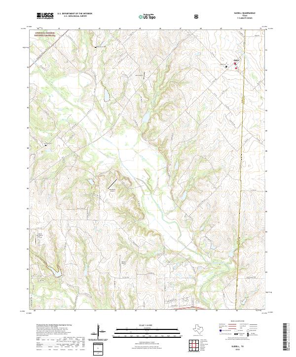
1961 Slidell
Wise County, TX
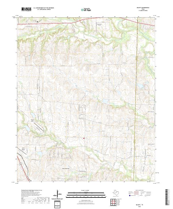
2022 Bluett
Wise County, TX
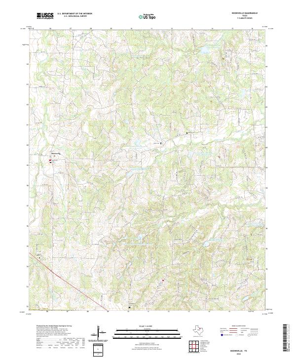
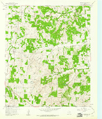
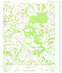
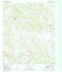
2022 Boonsville
Wise County, TX
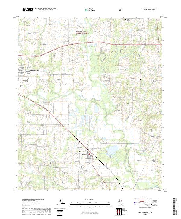
2022 Bridgeport East
Wise County, TX
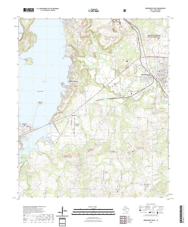
2022 Bridgeport West
Wise County, TX
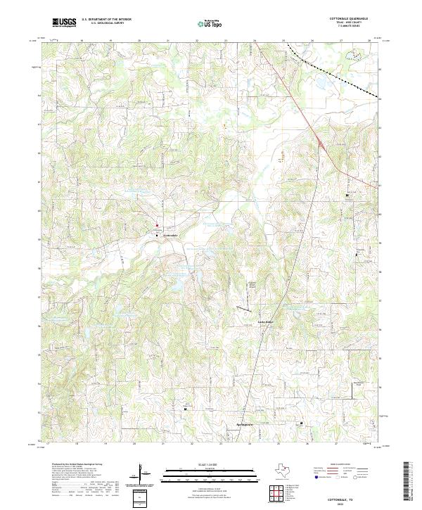
2022 Cottondale
Wise County, TX
2022 Greenwood
Wise County, TX
2022 Pecan Creek
Wise County, TX
2022 Slidell
Wise County, TX