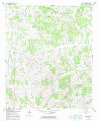
1960 Map of Boonsville
USGS Topo · Published 1992About this map
Boonsville and Balsora sit at the heart of this North Texas survey, where the landscape is defined by the early development of the Boonsville Gas Field. Numerous oil and gas wells dot the terrain, linked by an emerging network of pipelines. The area's older transportation history is visible in the remnants of the Old Railroad Grade and Old RR Grade that cut across the western and northern sections of the map.
Find a feature on this map
26 named features on this map. Tap any name to fly to it.
Don’t see what you’re looking for? This feature index may not catch every label — zoom into the map to look around manually.
Map Details
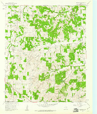
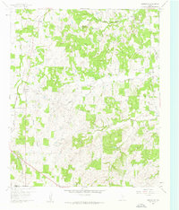
Editions of this 1960 Boonsville Map
Other maps of this area

1891 · Weatherford
USGS Topo · 1:125,000

1893 · Weatherford
USGS Topo · 1:125,000

1930 · Boyd
USGS Topo · 1:62,500

1932 · Springtown
USGS Topo · 1:62,500

1954 · Dallas
USGS Topo · 1:250,000

1954 · Sherman
USGS Topo · 1:250,000

1958 · Dallas
USGS Topo · 1:250,000

1958 · Sherman
USGS Topo · 1:250,000

1958 · Springtown
USGS Topo · 1:24,000
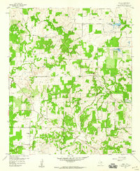
1959 · Adell
USGS Topo · 1:24,000