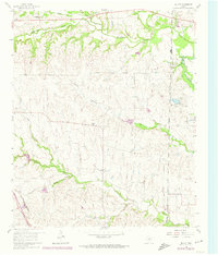
1960 Map of Bluett
USGS Topo · Published 1974About this map
The small community of Bluett sits at the heart of this rolling landscape along the border of Wise and Denton counties. The terrain is defined by a dense network of drainages including Oliver Creek, Catlett Creek, and Morris Branch, which carve through the countryside to create a distinct pattern of ridges and valleys. While largely agricultural, the area shows signs of early industrial activity with several Gravel Pits and a Gas Well located in the uplands.
Find a feature on this map
17 named features on this map. Tap any name to fly to it.
Don’t see what you’re looking for? This feature index may not catch every label — zoom into the map to look around manually.
Map Details
Editions of this 1960 Bluett Map
3 editions found
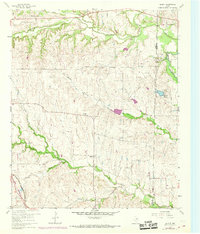
Other maps of this area

1924 · Sunset 4-d
USGS Topo · 1:48,000

1930 · Boyd
USGS Topo · 1:62,500

1954 · Sherman
USGS Topo · 1:250,000

1958 · Sherman
USGS Topo · 1:250,000

1959 · Ponder
USGS Topo · 1:24,000

1960 · Decatur
USGS Topo · 1:24,000

1960 · Boyd
USGS Topo · 1:24,000
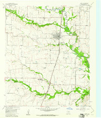
1960 · Justin
USGS Topo · 1:24,000

1960 · Bluett
USGS Topo · 1:24,000

1960 · Rhome
USGS Topo · 1:24,000