
1960 Map of Rhome
USGS Topo · Published 1961About this map
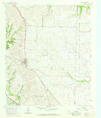
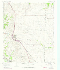
The Fort Worth And Denver railroad cuts a diagonal path through this 1960 landscape, defining the development of Wise County ranching and farming communities. In the village of Rhome, a dense cluster of structures sits at the intersection of the railway and modern highways, while further south, the Chicago Rock Island And Pacific line enters the map near Newark. The area is characterized by an organized grid of section lines and fence lines that segment the drainages of Elizabeth Creek, Harriet Creek, and Blue Creek.
Find a feature on this map
20 named features on this map. Tap any name to fly to it.
Don’t see what you’re looking for? This feature index may not catch every label — zoom into the map to look around manually.
Map Details
Editions of this 1960 Rhome Map
3 editions found
Other maps of this area

1891 · Weatherford
USGS Topo · 1:125,000

1893 · Weatherford
USGS Topo · 1:125,000

1894 · Fort Worth
USGS Topo · 1:125,000

1924 · Sunset 4-d
USGS Topo · 1:48,000

1930 · Boyd
USGS Topo · 1:62,500

1932 · Springtown
USGS Topo · 1:62,500

1954 · Dallas
USGS Topo · 1:250,000

1954 · Sherman
USGS Topo · 1:250,000

1955 · Avondale
USGS Topo · 1:24,000

1955 · Azle
USGS Topo · 1:24,000