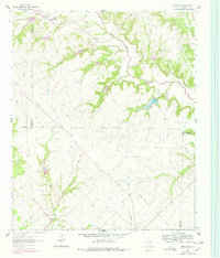
1961 Map of Greenwood
USGS Topo · Published 1978About this map
Greenwood sits at the southern edge of this North Texas survey, where the convergence of Harts Creek and Miller Creek defines the local topography. This 1961 field check captures a rural landscape characterized by a network of drainage systems like Gold Hollow and Fannin Creek that feed into the prominent Clear Creek valley. An unusual concentration of county boundaries meets here, with the intersection of Wise, Cooke, and Denton counties appearing near the eastern margin.
Find a feature on this map
27 named features on this map. Tap any name to fly to it.
Don’t see what you’re looking for? This feature index may not catch every label — zoom into the map to look around manually.
Map Details
Editions of this 1961 Greenwood Map
2 editions found
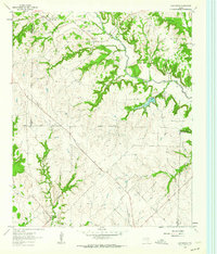
Other maps of this area

1902 · Gainesville
USGS Topo · 1:125,000

1905 · Montague
USGS Topo · 1:125,000

1943 · Gainesville
USGS Topo · 1:125,000

1954 · Sherman
USGS Topo · 1:250,000

1958 · Sherman
USGS Topo · 1:250,000

1961 · Pecan Creek
USGS Topo · 1:24,000

1961 · Freemound
USGS Topo · 1:24,000

1961 · New Harp
USGS Topo · 1:24,000

1961 · Era
USGS Topo · 1:24,000

1961 · Slidell
USGS Topo · 1:24,000