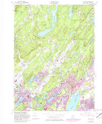
1954 Map of Boonton
USGS Topo · Published 1982About this map
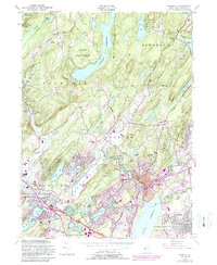
Splitrock Reservoir and the Boonton Reservoir dominate the landscape of Morris County in this mid-century update. The map documents the post-war suburban transition, particularly in the south where Denville, Tabor, and Lake Hiawatha show significant expansion through residential purple-tinting. To the north, the wooded reaches of Farny State Park and the Stony Brook Mountains remain relatively undeveloped, anchored by older hamlets like Marcella and Hibernia.
Find a feature on this map
87 named features on this map. Tap any name to fly to it.
Don’t see what you’re looking for? This feature index may not catch every label — zoom into the map to look around manually.
Map Details
Editions of this 1954 Boonton Map
6 editions found
Other maps of this area

1888 · Franklin
USGS Topo · 1:62,500

1888 · Morristown
USGS Topo · 1:62,500

1888 · Lake Hopatcong
USGS Topo · 1:62,500

1891 · Greenwood Lake
USGS Topo · 1:62,500

1893 · Greenwood Lake
USGS Topo · 1:62,500

1894 · Morristown
USGS Topo · 1:62,500

1894 · Lake Hopatcong
USGS Topo · 1:62,500

1894 · Franklin
USGS Topo · 1:62,500

1897 · Franklin
USGS Topo · 1:62,500

1898 · Lake Hopatcong
USGS Topo · 1:62,500
Featured Places
- Parsippany-Troy Hills, NJ
- Rockaway Township, NJ
- Montville Township, NJ
- Denville, NJ
- Denville Township, Denville