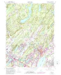
1954 Map of Boonton
USGS Topo · Published 1988About this map
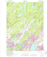
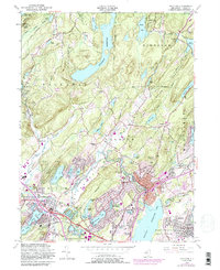
Picatinny Arsenal dominates the northwestern corner of this landscape, its presence defined by the Military Reservation boundaries that intersect with the heights of Copperas Mtn. To the east, the extensive waters of Splitrock Reservoir and Farny State Park suggest a transition into the more forested, elevated terrain of the Montville Mountains. The industrial and residential development of Boonton and Denville centers on the corridor formed by the Rockaway River and the Conrail line, showing a dense network of suburban expansion in the mid-20th century.
Find a feature on this map
82 named features on this map. Tap any name to fly to it.
Don’t see what you’re looking for? This feature index may not catch every label — zoom into the map to look around manually.
Map Details
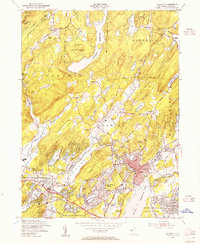
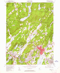
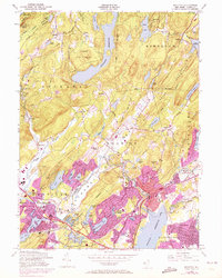
Editions of this 1954 Boonton Map
6 editions found
Other maps of this area

1888 · Franklin
USGS Topo · 1:62,500

1888 · Morristown
USGS Topo · 1:62,500

1888 · Lake Hopatcong
USGS Topo · 1:62,500

1891 · Greenwood Lake
USGS Topo · 1:62,500

1893 · Greenwood Lake
USGS Topo · 1:62,500

1894 · Morristown
USGS Topo · 1:62,500

1894 · Lake Hopatcong
USGS Topo · 1:62,500

1894 · Franklin
USGS Topo · 1:62,500

1897 · Franklin
USGS Topo · 1:62,500

1898 · Lake Hopatcong
USGS Topo · 1:62,500
Featured Places
- Parsippany-Troy Hills, NJ
- Rockaway Township, NJ
- Montville Township, NJ
- Denville, NJ
- Denville Township, Denville