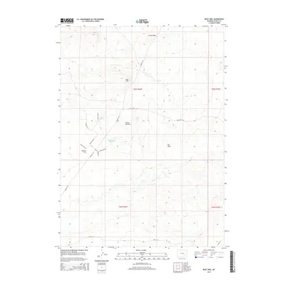
2015 Map of Boot Heel
USGS Topo · Published 2015About this map
Boot Heel rises above the high plains of Albany County, anchoring a landscape defined by ranching infrastructure and thermal activity. This 2015 survey details a network of rural access ways including Marshall Rd and Sheep Creek Rd, which serve the scattered water resources essential to this environment. The presence of Arsenic Geyser near Carcass Ridge points to the area's geothermal underpinnings, while man-made features like Priet Reservoir and Johnson Flat Reservoir highlight the necessity of water management.
Find a feature on this map
21 named features on this map. Tap any name to fly to it.
Don’t see what you’re looking for? This feature index may not catch every label — zoom into the map to look around manually.
Map Details
Editions of this 2015 Boot Heel Map
This is the sole edition of this map. No revisions or reprints were ever made.
Other maps of this area

1954 · Torrington
USGS Topo · 1:250,000

1955 · Casper
USGS Topo · 1:250,000

1958 · Casper
USGS Topo · 1:250,000

1958 · Torrington
USGS Topo · 1:250,000

1959 · Chalk Hills
USGS Topo · 1:24,000
1961 · Walker Draw SE
USGS Topo · 1:24,000
1961 · Big Charlie Lakes
USGS Topo · 1:24,000

1962 · Casper
USGS Topo · 1:250,000
1964 · Pass Creek
USGS Topo · 1:24,000

1964 · Marshall
USGS Topo · 1:24,000