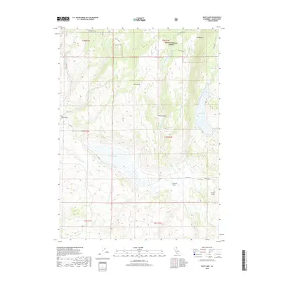
2018 Map of Boot Lake
USGS Topo · Published 2018About this map
Modoc National Forest encompasses the high-altitude terrain of Lassen County shown in this 2018 survey. The landscape is defined by its significant seasonal hydrology and dramatic elevation shifts, anchored by Boot Lake in the east and Red Rock Lake near the center. These water bodies, along with smaller features like Rock Spring, have historically served as critical watering points in a region otherwise characterized by dry basins and volcanic ridges.
Find a feature on this map
28 named features on this map. Tap any name to fly to it.
Don’t see what you’re looking for? This feature index may not catch every label — zoom into the map to look around manually.
Map Details
Editions of this 2018 Boot Lake Map
This is the sole edition of this map. No revisions or reprints were ever made.
Other maps of this area

1886 · Alturas
USGS Topo · 1:250,000

1886 · Honey Lake
USGS Topo · 1:250,000

1891 · Honey Lake
USGS Topo · 1:250,000

1892 · Alturas
USGS Topo · 1:250,000

1893 · Honey Lake
USGS Topo · 1:250,000

1954 · Observation Peak
USGS Topo · 1:62,500

1954 · Ravendale
USGS Topo · 1:62,500

1954 · Alturas
USGS Topo · 1:250,000

1955 · Westwood
USGS Topo · 1:250,000

1958 · Alturas
USGS Topo · 1:250,000