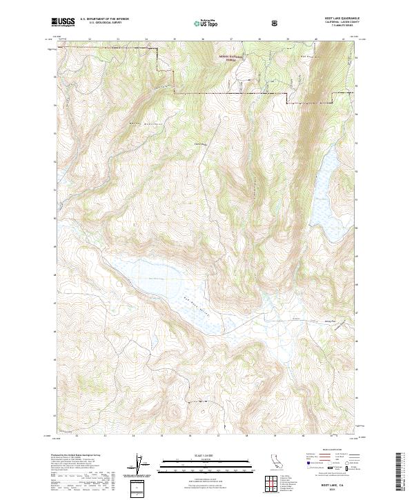
2021 Map of Boot Lake
USGS Topo · Published 2021About this map
The Warner Mountains dominate this 2021 landscape within the Modoc National Forest in Lassen County. This high-altitude basin is characterized by a series of seasonal and permanent water bodies, including the namesake Boot Lake and Red Rock Lake. The terrain is deeply incised by drainages such as Selic Canyon and Alaska Canyon, which feed into the broader Clarks Valley and Red Rock Valley.
Find a feature on this map
26 named features on this map. Tap any name to fly to it.
Don’t see what you’re looking for? This feature index may not catch every label — zoom into the map to look around manually.
Map Details
Editions of this 2021 Boot Lake Map
This is the sole edition of this map. No revisions or reprints were ever made.
Other maps of this area

1886 · Alturas
USGS Topo · 1:250,000

1886 · Honey Lake
USGS Topo · 1:250,000

1891 · Honey Lake
USGS Topo · 1:250,000

1892 · Alturas
USGS Topo · 1:250,000

1893 · Honey Lake
USGS Topo · 1:250,000

1954 · Observation Peak
USGS Topo · 1:62,500

1954 · Ravendale
USGS Topo · 1:62,500

1954 · Alturas
USGS Topo · 1:250,000

1955 · Westwood
USGS Topo · 1:250,000

1958 · Alturas
USGS Topo · 1:250,000