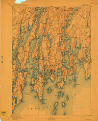
1893 Map of Boothbay
USGS Topo · Published 1911About this map
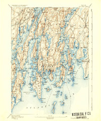
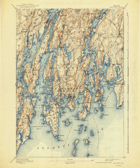
Boothbay Harbor and the jagged peninsulas of the Mid-Coast are documented here in a late nineteenth-century survey, showing the intricate maritime landscape before modern development. Navigational safety is highlighted by the placement of several historic beacons, including Hendrick Head Light and Pemaquid Pt Light, which guided vessels through the complex waters of Sheepscot Bay and Johns Bay.
Find a feature on this map
102 named features on this map. Tap any name to fly to it.
Don’t see what you’re looking for? This feature index may not catch every label — zoom into the map to look around manually.
Map Details
Editions of this 1893 Boothbay Map
11 editions found

1893 edition
15.1 x 20.1 inches
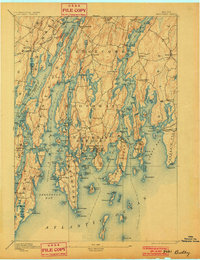
1901 edition
15.6 x 20.3 inches
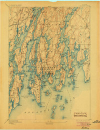
1905 edition
15.6 x 20.3 inches
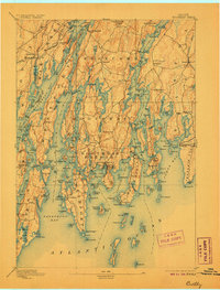
1906 edition
15.6 x 20.5 inches
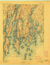
1908 edition
15.6 x 20.3 inches
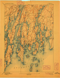
1909 edition
15.6 x 20.3 inches
1911 edition
15.8 x 19.5 inches
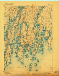
1921 edition
15.5 x 20.2 inches
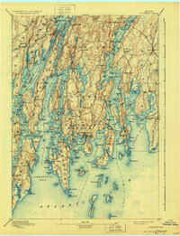
1930 edition
15.6 x 20.3 inches
1936 edition
16.5 x 19.8 inches
1941 edition
16.5 x 19.8 inches
Other maps of this area

1892 · Gardiner
USGS Topo · 1:62,500

1893 · Small Point
USGS Topo · 1:62,500

1893 · Wiscasset
USGS Topo · 1:62,500
1893 · Boothbay
USGS Topo · 1:62,500

1894 · Bath
USGS Topo · 1:62,500

1904 · Monhegan
USGS Topo · 1:62,500

1906 · Monhegan
USGS Topo · 1:62,500

1913 · Waldoboro
USGS Topo · 1:48,000

1915 · Waldoboro
USGS Topo · 1:62,500

1919 · Small Point
USGS Topo · 1:62,500