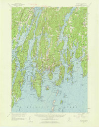
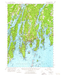
1957 Map of Boothbay
USGS Topo · Published 1959About this map
Sheepscot River and the Damariscotta River define this intricate stretch of the Maine coast, where tidal coves and long peninsulas dictate the flow of commerce and community. The map reveals a mid-century landscape deeply rooted in its maritime past, anchored by the Boothbay Harbor area and historic sites like Fort Edgecomb and the Old Walpole Meeting House. In the north, the Maine Central railroad cuts through the terrain near Wiscasset, while to the south, the seafaring identity of the region is evident in the cluster of island communities like Squirrel Island and Damariscove Island.
Find a feature on this map
107 named features on this map. Tap any name to fly to it.
Don’t see what you’re looking for? This feature index may not catch every label — zoom into the map to look around manually.
Map Details
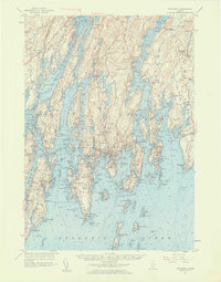
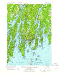
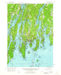
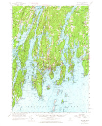
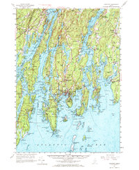
Editions of this 1957 Boothbay Map
7 editions found
Other maps of this area

1892 · Gardiner
USGS Topo · 1:62,500

1893 · Small Point
USGS Topo · 1:62,500

1893 · Wiscasset
USGS Topo · 1:62,500

1893 · Boothbay
USGS Topo · 1:62,500

1894 · Bath
USGS Topo · 1:62,500

1904 · Monhegan
USGS Topo · 1:62,500

1906 · Monhegan
USGS Topo · 1:62,500

1913 · Waldoboro
USGS Topo · 1:48,000

1915 · Waldoboro
USGS Topo · 1:62,500

1919 · Small Point
USGS Topo · 1:62,500