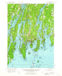
1957 Map of Boothbay
USGS Topo · Published 1962About this map
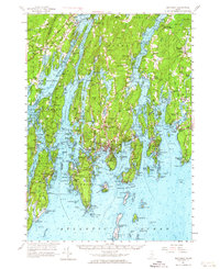
The complex shoreline of the Maine coast is charted here in the mid-1950s, showing the deep-water channels and narrow passages of the Sheepscot River and Damariscotta River. At the heart of the peninsula, Boothbay Harbor serves as the primary maritime hub, while smaller outposts like South Bristol and Newagen anchor the southern points. This survey details the transition from sheltered inland coves to the open Atlantic Ocean, capturing the landscape before extensive modern development.
Find a feature on this map
111 named features on this map. Tap any name to fly to it.
Don’t see what you’re looking for? This feature index may not catch every label — zoom into the map to look around manually.
Map Details
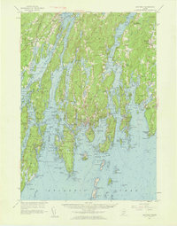
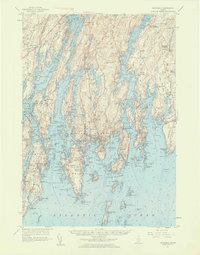
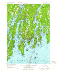
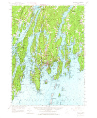
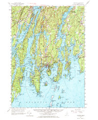
Editions of this 1957 Boothbay Map
7 editions found
Other maps of this area

1892 · Gardiner
USGS Topo · 1:62,500

1893 · Small Point
USGS Topo · 1:62,500

1893 · Wiscasset
USGS Topo · 1:62,500

1893 · Boothbay
USGS Topo · 1:62,500

1894 · Bath
USGS Topo · 1:62,500

1904 · Monhegan
USGS Topo · 1:62,500

1906 · Monhegan
USGS Topo · 1:62,500

1913 · Waldoboro
USGS Topo · 1:48,000

1915 · Waldoboro
USGS Topo · 1:62,500

1919 · Small Point
USGS Topo · 1:62,500