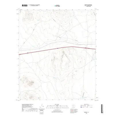
2019 Map of Boracho
USGS Topo · Published 2019About this map
Boracho Station serves as a primary reference point in this arid Culberson County landscape, where the survival of ranching operations depends on a network of named water catchments. These essential features, including Horse Camp Tank, Tepee Tank, and Coyote Tank, are scattered across the high desert floor to support livestock. The topography is defined by significant drainage systems such as Hard Luck Draw and Indian Waterhole Draw, which lead toward the prominent elevation of Black Peak. This map illustrates the intersection of modern transit and traditional land use, as Interstate 10 cuts through a region still navigated by local routes like Apache Rd and X Ranch Rd. The presence of features like In and Out Tank suggests the practical, everyday challenges of managing water in this Trans-Pecos environment.
Find a feature on this map
17 named features on this map. Tap any name to fly to it.
Don’t see what you’re looking for? This feature index may not catch every label — zoom into the map to look around manually.
Map Details
Editions of this 2019 Boracho Map
This is the sole edition of this map. No revisions or reprints were ever made.
Other maps of this area

1892 · Chispa
USGS Topo · 1:125,000

1894 · Valentine
USGS Topo · 1:125,000

1895 · Chispa
USGS Topo · 1:125,000

1897 · Valentine
USGS Topo · 1:125,000

1897 · Chispa
USGS Topo · 1:125,000

1906 · Van Horn
USGS Topo · 1:125,000

1928 · Kent
USGS Topo · 1:125,000

1943 · Valentine
USGS Topo · 1:125,000

1954 · Van Horn
USGS Topo · 1:250,000

1958 · Van Horn
USGS Topo · 1:250,000