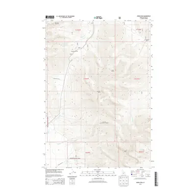
2013 Map of Borah Peak
USGS Topo · Published 2013About this map
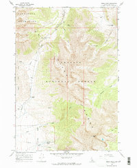
Borah Peak, the highest point in Idaho, dominates this survey of the high-elevation wilderness within the Challis National Forest. Situated in the heart of the Lost River Range, the map details a stark alpine environment defined by steep drainage networks and significant mountain passes. High-country routes like Doublespring Pass Rd and Birch Springs Rd provide the primary access to this landscape of summits and canyons. The drainage pattern is led by the Pahsimeroi Mountains in the north, feeding into Doublespring Cr, while the southern reaches are marked by the headwaters of Rock Cr and Birch Springs. This map reveals the topographic complexity of the central Idaho interior, documenting remote landmarks such as Cayuse Canyon and Horseheaven Pass that are critical for navigating this high-altitude terrain.
Find a feature on this map
24 named features on this map. Tap any name to fly to it.
Don’t see what you’re looking for? This feature index may not catch every label — zoom into the map to look around manually.
Map Details
Editions of this 2013 Borah Peak Map
This is the sole edition of this map. No revisions or reprints were ever made.
Other maps of this area

1935 · Borah Peak
USGS Topo · 1:125,000

1938 · Borah Peak
USGS Topo · 1:125,000

1955 · Dubois
USGS Topo · 1:250,000

1956 · Donkey Hills
USGS Topo · 1:62,500

1956 · Doublespring
USGS Topo · 1:62,500

1958 · Dubois
USGS Topo · 1:250,000
1962 · Leatherman Peak
USGS Topo · 1:24,000
1967 · Burnt Creek
USGS Topo · 1:24,000
1967 · Elkhorn Creek
USGS Topo · 1:24,000
1967 · Borah Peak
USGS Topo · 1:24,000