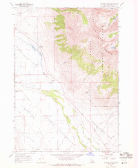
1967 Map of Elkhorn Creek
USGS Topo · Published 1971About this map
The Lost River Range dominates this landscape, its steep eastern slopes falling sharply toward the wide plains of Thousand Springs Valley. Along the transition from mountain to valley, the Big Lost River meanders through a corridor of greenery, joined by drainage systems like Parsons Creek and Vance Creek. The high-altitude terrain is marked by alpine features such as Merriam Lake and Pass Lake, accessible via the Pack Tr.
Find a feature on this map
22 named features on this map. Tap any name to fly to it.
Don’t see what you’re looking for? This feature index may not catch every label — zoom into the map to look around manually.
Map Details
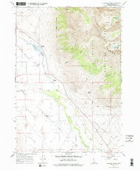
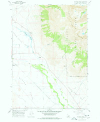
Editions of this 1967 Elkhorn Creek Map
3 editions found
Other maps of this area

1935 · MacKay
USGS Topo · 1:96,000

1935 · Borah Peak
USGS Topo · 1:125,000

1938 · Borah Peak
USGS Topo · 1:125,000

1940 · Mackay
USGS Topo · 1:62,500

1955 · Dubois
USGS Topo · 1:250,000

1955 · Idaho Falls
USGS Topo · 1:250,000

1958 · Dubois
USGS Topo · 1:250,000

1958 · Idaho Falls
USGS Topo · 1:250,000

1960 · Mackay
USGS Topo · 1:62,500

1960 · Copper Basin
USGS Topo · 1:62,500