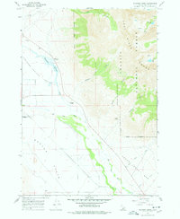
1967 Map of Elkhorn Creek
USGS Topo · Published 1978About this map
The Big Lost River meanders across the southern reach of this Custer County landscape, defining the transition from the high peaks of the Lost River Range to the wide expanse of Barton Flats. This 1967 field-checked survey highlights a high-altitude wilderness within the Challis National Forest, where alpine features like Merriam Lake and Pass Lake sit tucked away in the upper elevations. The eastern topography is defined by sharp vertical relief, with Elkhorn Canyon, Vance Gulch, and Sawmill Gulch cutting deep into the mountainside.
Find a feature on this map
29 named features on this map. Tap any name to fly to it.
Don’t see what you’re looking for? This feature index may not catch every label — zoom into the map to look around manually.
Map Details
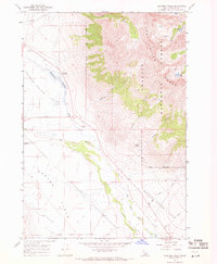
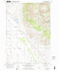
Editions of this 1967 Elkhorn Creek Map
3 editions found
Other maps of this area

1935 · MacKay
USGS Topo · 1:96,000

1935 · Borah Peak
USGS Topo · 1:125,000

1938 · Borah Peak
USGS Topo · 1:125,000

1940 · Mackay
USGS Topo · 1:62,500

1955 · Dubois
USGS Topo · 1:250,000

1955 · Idaho Falls
USGS Topo · 1:250,000

1958 · Dubois
USGS Topo · 1:250,000

1958 · Idaho Falls
USGS Topo · 1:250,000

1960 · Mackay
USGS Topo · 1:62,500

1960 · Copper Basin
USGS Topo · 1:62,500