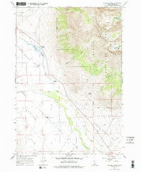
1967 Map of Elkhorn Creek
USGS Topo · Published 1978About this map
The Big Lost River meanders through a broad valley floor at the base of the Lost River Range, defining the transition between the agricultural potential of Barton Flats and the high wilderness of the Challis National Forest. This late 1960s landscape shows the sparse settlement pattern of Custer County, anchored by the Elkhorn Ranch and the locality of Chilly. To the west, the expansive Thousand Springs Valley is fed by various water sources including Thousand Springs Creek and the aptly named Whiskey Springs. High-elevation alpine features like Merriam Lake and Pass Lake sit tucked within the mountain peaks, accessible only by a primitive Pack Tr. The road network is minimal, dominated by the Bartlett Pt Road, reflecting an era where the economy centered on ranching and the proximity to the river systems.
Find a feature on this map
24 named features on this map. Tap any name to fly to it.
Don’t see what you’re looking for? This feature index may not catch every label — zoom into the map to look around manually.
Map Details
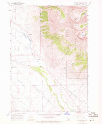
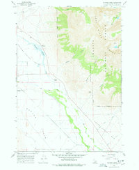
Editions of this 1967 Elkhorn Creek Map
3 editions found
Other maps of this area

1935 · MacKay
USGS Topo · 1:96,000

1935 · Borah Peak
USGS Topo · 1:125,000

1938 · Borah Peak
USGS Topo · 1:125,000

1940 · Mackay
USGS Topo · 1:62,500

1955 · Dubois
USGS Topo · 1:250,000

1955 · Idaho Falls
USGS Topo · 1:250,000

1958 · Dubois
USGS Topo · 1:250,000

1958 · Idaho Falls
USGS Topo · 1:250,000

1960 · Mackay
USGS Topo · 1:62,500

1960 · Copper Basin
USGS Topo · 1:62,500