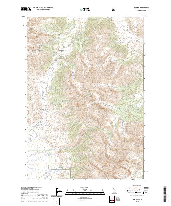
2024 Map of Borah Peak
USGS Topo · Published 2024About this map
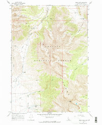
Borah Peak dominates the southern reaches of this high-altitude landscape, marking the apex of the Lost River Range within the Challis National Forest. This modern 2024 survey documents the complex topography of the Pahsimeroi Mountains, where primitive routes like the Borah Peak Trl and the Camp Spur Trl provide access to the high ridgelines. Movement through the area is defined by natural gaps in the terrain, most notably Doublespring Pass and Horseheaven Pass, which connect the deep incisions of Cayuse Canyon to the surrounding basins. Water sources are critical landmarks in this environment, with named features such as Freshwater Spring, Mule Spring, and Birch Springs located along the flanks of the mountains. Several drainage systems including Doublespring Creek and Mahogany Creek are clearly delineated, illustrating the watershed patterns that have shaped the local geology.
Find a feature on this map
26 named features on this map. Tap any name to fly to it.
Don’t see what you’re looking for? This feature index may not catch every label — zoom into the map to look around manually.
Map Details
Editions of this 2024 Borah Peak Map
This is the sole edition of this map. No revisions or reprints were ever made.
Other maps of this area

1935 · Borah Peak
USGS Topo · 1:125,000

1938 · Borah Peak
USGS Topo · 1:125,000

1955 · Dubois
USGS Topo · 1:250,000

1956 · Donkey Hills
USGS Topo · 1:62,500

1956 · Doublespring
USGS Topo · 1:62,500

1958 · Dubois
USGS Topo · 1:250,000
1962 · Leatherman Peak
USGS Topo · 1:24,000
1967 · Burnt Creek
USGS Topo · 1:24,000
1967 · Elkhorn Creek
USGS Topo · 1:24,000
1967 · Borah Peak
USGS Topo · 1:24,000