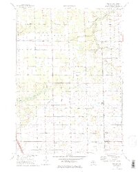
1972 Map of Borculo
USGS Topo · Published 1975About this map
Borculo and Olive Center anchor this agricultural landscape in eastern Ottawa County during the early 1970s. The terrain is defined by an extensive network of drainage systems, including the Bosch and Hulst Drain and Worley Drain, which supported the region's farming viability. The Chesapeake and Ohio railroad cuts through the southwestern corner near the settlement of Crisp, while the northern reaches follow the winding course of the Bass River. Small community hubs are marked by local landmarks like the Ottawa Ch and West Olive Cem. The map reveals the era's infrastructure through a rigid grid of named rural roads, such as Port Sheldon Street and Fillmore Street, alongside specialized land uses like the Crestview Golf Course and several active gravel pits.
Find a feature on this map
45 named features on this map. Tap any name to fly to it.
Don’t see what you’re looking for? This feature index may not catch every label — zoom into the map to look around manually.
Map Details
Editions of this 1972 Borculo Map
2 editions found
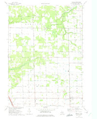
Other maps of this area

1929 · Holland
USGS Topo · 1:62,500

1930 · Muskegon
USGS Topo · 1:62,500

1932 · Holland
USGS Topo · 1:62,500

1936 · Muskegon
USGS Topo · 1:62,500

1945 · Ravenna
USGS Topo · 1:62,500

1954 · Milwaukee
USGS Topo · 1:250,000

1954 · Midland
USGS Topo · 1:250,000

1958 · Midland
USGS Topo · 1:250,000

1958 · Milwaukee
USGS Topo · 1:250,000

1958 · Allendale
USGS Topo · 1:24,000
Featured Places
- Olive Township, MI
- Rusk, Allendale Charter Township
- Crisp, Olive Township
- Robinson Township, MI
- Borculo, Olive Township