
1969 Map of Bordeaux
USGS Topo · Published 1972About this map
The Chicago and North Western railroad corridor slices diagonally through this late-1960s landscape, following the path of Little Bordeaux Creek toward the small settlement of Bordeaux. The terrain is defined by dramatic escarpments and named high points such as Sheridan Gates and Lovers Leap, reflecting the distinct topography along the Dawes Co Sheridan Co line. A small Cem is located near the railroad tracks, providing a specific point of interest for genealogists tracking early residents in this section of northwest Nebraska. Much of the southern portion of the map is protected within the Nebraska National Forest and Chadron State Park, where the transition from open prairie to wooded bluffs is most evident. Local industrial activity is represented by a Gravel Pit near the tracks, while the northern reaches show the winding course of Beaver Creek.
Find a feature on this map
15 named features on this map. Tap any name to fly to it.
Don’t see what you’re looking for? This feature index may not catch every label — zoom into the map to look around manually.
Map Details
Editions of this 1969 Bordeaux Map
This is the sole edition of this map. No revisions or reprints were ever made.
Other maps of this area

1955 · Alliance
USGS Topo · 1:250,000

1957 · Alliance
USGS Topo · 1:250,000

1958 · Alliance
USGS Topo · 1:250,000

1966 · Hay Springs
USGS Topo · 1:24,000

1966 · Chadron 3 NE
USGS Topo · 1:24,000

1969 · Beaver Wall
USGS Topo · 1:24,000

1969 · Chadron NE
USGS Topo · 1:24,000
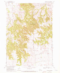
1969 · Whiteclay SW
USGS Topo · 1:24,000

1970 · Chadron 3 NW
USGS Topo · 1:24,000
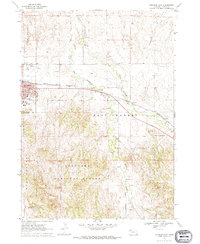
1970 · Chadron East
USGS Topo · 1:24,000