
1893 Map of Bordentown
USGS Topo · Published 1893About this map
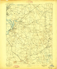
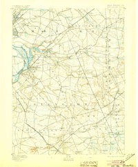
The Bordentown riverfront and the surrounding agricultural hinterlands of Mercer, Monmouth, and Burlington counties are captured here at the end of the nineteenth century. This landscape is defined by its sophisticated transportation network, where the Delaware River shore at Fieldsborough meets a dense web of rail lines, including the Pennsylvania Railroad and the Pemberton and Hightstown Railroad. The map reveals a transition from the urbanized edges of Chambersburg and Millham in the northwest to the traditional village structures of Crosswicks, Imlaystown, and the curiously named Recklesstown. Inland, the terrain is segmented by numerous watercourses such as Doctor Creek and Assiscunk Creek, which historically powered the local economy. The detailed placement of individual farmsteads and rural roads provides an invaluable resource for tracing late-Victorian settlement patterns and family landholdings across central New Jersey.
Find a feature on this map
79 named features on this map. Tap any name to fly to it.
Don’t see what you’re looking for? This feature index may not catch every label — zoom into the map to look around manually.
Map Details
Editions of this 1893 Bordentown Map
3 editions found
Other maps of this area

1884 · Whitings
USGS Topo · 1:62,500

1888 · Bordentown
USGS Topo · 1:62,500

1888 · Pemberton
USGS Topo · 1:62,500

1888 · New Brunswick
USGS Topo · 1:62,500

1888 · Mount Holly
USGS Topo · 1:62,500

1888 · Princeton
USGS Topo · 1:62,500

1888 · Cassville
USGS Topo · 1:62,500

1888 · Whitings
USGS Topo · 1:62,500

1890 · Lambertville
USGS Topo · 1:62,500

1890 · Burlington
USGS Topo · 1:62,500