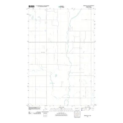
2011 Map of Bordulac NE
USGS Topo · Published 2011About this map
The James River snakes through the center of this Foster County landscape, defining the hydrology of a region where water management remains critical to the agricultural economy. To the west, the winding course of Kelly Creek feeds into the Niccum Reservoir, illustrating how local landowners modified the drainage patterns of the prairie. This 2011 survey reveals a sparse settlement pattern dominated by a strict sectional road grid, including 80th Ave NE and Main St E, which connect isolated farmsteads across the plains.
Find a feature on this map
22 named features on this map. Tap any name to fly to it.
Don’t see what you’re looking for? This feature index may not catch every label — zoom into the map to look around manually.
Map Details
Editions of this 2011 Bordulac NE Map
This is the sole edition of this map. No revisions or reprints were ever made.
Other maps of this area

1900 · Pingree
USGS Topo · 1:125,000

1944 · Brantford
USGS Topo · 1:62,500

1946 · Brantford
USGS Topo · 1:62,500

1949 · Grace City
USGS Topo · 1:24,000

1950 · Grace City
USGS Topo · 1:24,000

1950 · Brantford
USGS Topo · 1:24,000

1951 · Bordulac NE
USGS Topo · 1:24,000

1951 · Arrowwood Lake
USGS Topo · 1:24,000

1951 · Kensal
USGS Topo · 1:24,000

1951 · Kensal NW
USGS Topo · 1:24,000