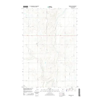
2014 Map of Bordulac NE
USGS Topo · Published 2014About this map
The James River snakes through this portion of Foster County, carving a distinct valley through the prairie landscape of central North Dakota. This 2014 survey documents a region defined by its water resources and section-line road grid, where Kelly Cr feeds into the main river channel. The map highlights the Niccum Reservoir and Jack Lake, suggesting the importance of water management in this agricultural corridor. Evidence of the area's social history is preserved at the Brethren Cem located near 80th Ave NE, serving as a quiet landmark for local genealogical research. The landscape is structured by a network of rural routes, including ND-200, which provide the primary east-west transit through these farmstead-dotted plains.
Find a feature on this map
23 named features on this map. Tap any name to fly to it.
Don’t see what you’re looking for? This feature index may not catch every label — zoom into the map to look around manually.
Map Details
Editions of this 2014 Bordulac NE Map
This is the sole edition of this map. No revisions or reprints were ever made.
Other maps of this area

1900 · Pingree
USGS Topo · 1:125,000

1944 · Brantford
USGS Topo · 1:62,500

1946 · Brantford
USGS Topo · 1:62,500

1949 · Grace City
USGS Topo · 1:24,000

1950 · Grace City
USGS Topo · 1:24,000

1950 · Brantford
USGS Topo · 1:24,000

1951 · Bordulac NE
USGS Topo · 1:24,000

1951 · Arrowwood Lake
USGS Topo · 1:24,000

1951 · Kensal
USGS Topo · 1:24,000

1951 · Kensal NW
USGS Topo · 1:24,000