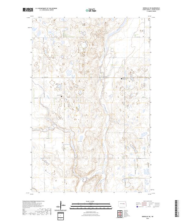
2024 Map of Bordulac NE
USGS Topo · Published 2024About this map
The James River snakes through the center of this Foster County landscape, creating a distinct topographical corridor through the surrounding plains. The rural character of the area is defined by its early communal landmarks, including the James River Church and its accompanying Lutheran Cem, located in the northeastern quadrant. To the west, the Brethren Cem serves as another focal point for genealogical research in this sparsely settled region. Significant water management features like the Niccum Reservoir and Jack Lake illustrate how local water sources like Kelly Creek have been utilized. This contemporary survey preserves the grid-based settlement pattern and the location of historical gathering places that have anchored this North Dakota community for generations.
Find a feature on this map
31 named features on this map. Tap any name to fly to it.
Don’t see what you’re looking for? This feature index may not catch every label — zoom into the map to look around manually.
Map Details
Editions of this 2024 Bordulac NE Map
This is the sole edition of this map. No revisions or reprints were ever made.
Other maps of this area

1900 · Pingree
USGS Topo · 1:125,000

1944 · Brantford
USGS Topo · 1:62,500

1946 · Brantford
USGS Topo · 1:62,500

1949 · Grace City
USGS Topo · 1:24,000

1950 · Grace City
USGS Topo · 1:24,000

1950 · Brantford
USGS Topo · 1:24,000

1951 · Bordulac NE
USGS Topo · 1:24,000

1951 · Arrowwood Lake
USGS Topo · 1:24,000

1951 · Kensal
USGS Topo · 1:24,000

1951 · Kensal NW
USGS Topo · 1:24,000