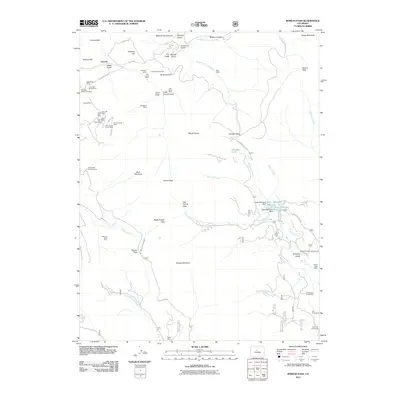
2011 Map of Boreas Pass
USGS Topo · Published 2011About this map
SallyBarber Mine and a dense cluster of high-altitude mining claims define the western slopes of the Tenmile Range in this 2011 survey. The landscape is a complex network of 19th-century industrial remnants and modern forest access, where historic sites like the Corporal Mine and Tommy Mine sit near established mountain routes like Boreas Pass Rd. To the southeast, the terrain shifts from heavy mining to early ranching and settlement sites, including the Schattinger Homestead, Volz Homestead, and Liesburg Homestead along the drainage of Mountain Creek. This transition from the extraction economy near Lincoln to the more isolated homesteads near Antelope Gulch reflects the varied ways the high country was settled. Notable water management features, such as Boreas Ditch Number 2 and the Upper Michigan Reservoir, highlight the critical role of water diversion in this arid alpine environment.
Find a feature on this map
73 named features on this map. Tap any name to fly to it.
Don’t see what you’re looking for? This feature index may not catch every label — zoom into the map to look around manually.
Map Details
Editions of this 2011 Boreas Pass Map
This is the sole edition of this map. No revisions or reprints were ever made.
Other maps of this area

1889 · Leadville
USGS Topo · 1:125,000

1891 · Leadville
USGS Topo · 1:125,000

1924 · Montezuma
USGS Topo · 1:62,500

1926 · Montezuma
USGS Topo · 1:62,500

1929 · Dillon
USGS Topo · 1:62,500

1933 · Montezuma
USGS Topo · 1:62,500

1934 · Climax
USGS Topo · 1:48,000

1934 · Dillon
USGS Topo · 1:62,500

1937 · Como
USGS Topo · 1:62,500

1938 · Mt. Lincoln
USGS Topo · 1:48,000