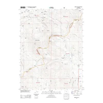
2013 Map of Boreas Pass
USGS Topo · Published 2013About this map
Boreas Pass serves as a critical high-altitude junction along the Continental Divide, where the waters of French Creek and Michigan Creek diverge toward different oceans. This 2013 survey highlights the complex drainage system of the Middle Fork Swan River and South Swan River, a landscape carved by numerous gulches such as Gold Run Gulch and French Gulch. The map records the legacy of settlement through named sites like the Schattinger Homestead, Volz Homestead, and Liesburg Homestead, along with isolated mountain shelters like Spann Cabin.
Find a feature on this map
98 named features on this map. Tap any name to fly to it.
Don’t see what you’re looking for? This feature index may not catch every label — zoom into the map to look around manually.
Map Details
Editions of this 2013 Boreas Pass Map
This is the sole edition of this map. No revisions or reprints were ever made.
Other maps of this area

1889 · Leadville
USGS Topo · 1:125,000

1891 · Leadville
USGS Topo · 1:125,000

1924 · Montezuma
USGS Topo · 1:62,500

1926 · Montezuma
USGS Topo · 1:62,500

1929 · Dillon
USGS Topo · 1:62,500

1933 · Montezuma
USGS Topo · 1:62,500

1934 · Climax
USGS Topo · 1:48,000

1934 · Dillon
USGS Topo · 1:62,500

1937 · Como
USGS Topo · 1:62,500

1938 · Mt. Lincoln
USGS Topo · 1:48,000