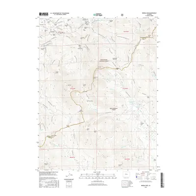
2016 Map of Boreas Pass
USGS Topo · Published 2016About this map
The Continental Divide forms the backbone of this high-altitude landscape, where the borders of the White River National Forest and Pike National Forest meet. The settlement of Lincoln sits at the northern edge, surrounded by a dense network of mining-era landmarks such as Humbug Hill, Farncomb Hill, and Brewery Hill. A historical concentration of activity is evident in the numerous named gulches and trails, including the Masonic Mounument and the Great Flume Trail.
Find a feature on this map
105 named features on this map. Tap any name to fly to it.
Don’t see what you’re looking for? This feature index may not catch every label — zoom into the map to look around manually.
Map Details
Editions of this 2016 Boreas Pass Map
This is the sole edition of this map. No revisions or reprints were ever made.
Other maps of this area

1889 · Leadville
USGS Topo · 1:125,000

1891 · Leadville
USGS Topo · 1:125,000

1924 · Montezuma
USGS Topo · 1:62,500

1926 · Montezuma
USGS Topo · 1:62,500

1929 · Dillon
USGS Topo · 1:62,500

1933 · Montezuma
USGS Topo · 1:62,500

1934 · Climax
USGS Topo · 1:48,000

1934 · Dillon
USGS Topo · 1:62,500

1937 · Como
USGS Topo · 1:62,500

1938 · Mt. Lincoln
USGS Topo · 1:48,000